Seahurst Park
Report generated on: February 05, 2026
Acres: 90.2
Elevation Range: -0.189 - 335 ft
Township, Range, Section: T23-0N R3-0E S13
Watershed: Miller Creek-Frontal East Passage
Watershed (HUC): 171100190204
Zoning: PARKS (green belts, community areas)
Counties: King
Central Coordinates: -122.3611° W, 47.4772° N
Export your property data
Download and share your report
All maps of your property
Aerial Photo
Seahurst Park

Data Sources
Taxlots: WA DNR Washington State Department of Natural Resources
Aerial Imagery:
ESRI
Source: Esri, DigitalGlobe, GeoEye, Earthstar Geographics, CNES/Airbus DS, USDA, USGS, AeroGRID, IGN, and the GIS User Community
Aerial Imagery date: 05/05/2025
Vicinity
Seahurst Park

Data Sources
Basemap: MapBox
Topography
Seahurst Park

Data Sources
Contour Lines (ft): USGS USGS The National Map: 3D Elevation Program. Data Refreshed October, 2020.
Basemap: ESRI Sources: Esri, HERE, Garmin, Intermap, increment P Corp., GEBCO, USGS, FAO, NPS, NRCAN, GeoBase, IGN, Kadaster NL, Ordnance Survey, Esri Japan, METI, Esri China (Hong Kong), (c) OpenStreetMap contributors, and the GIS User Community
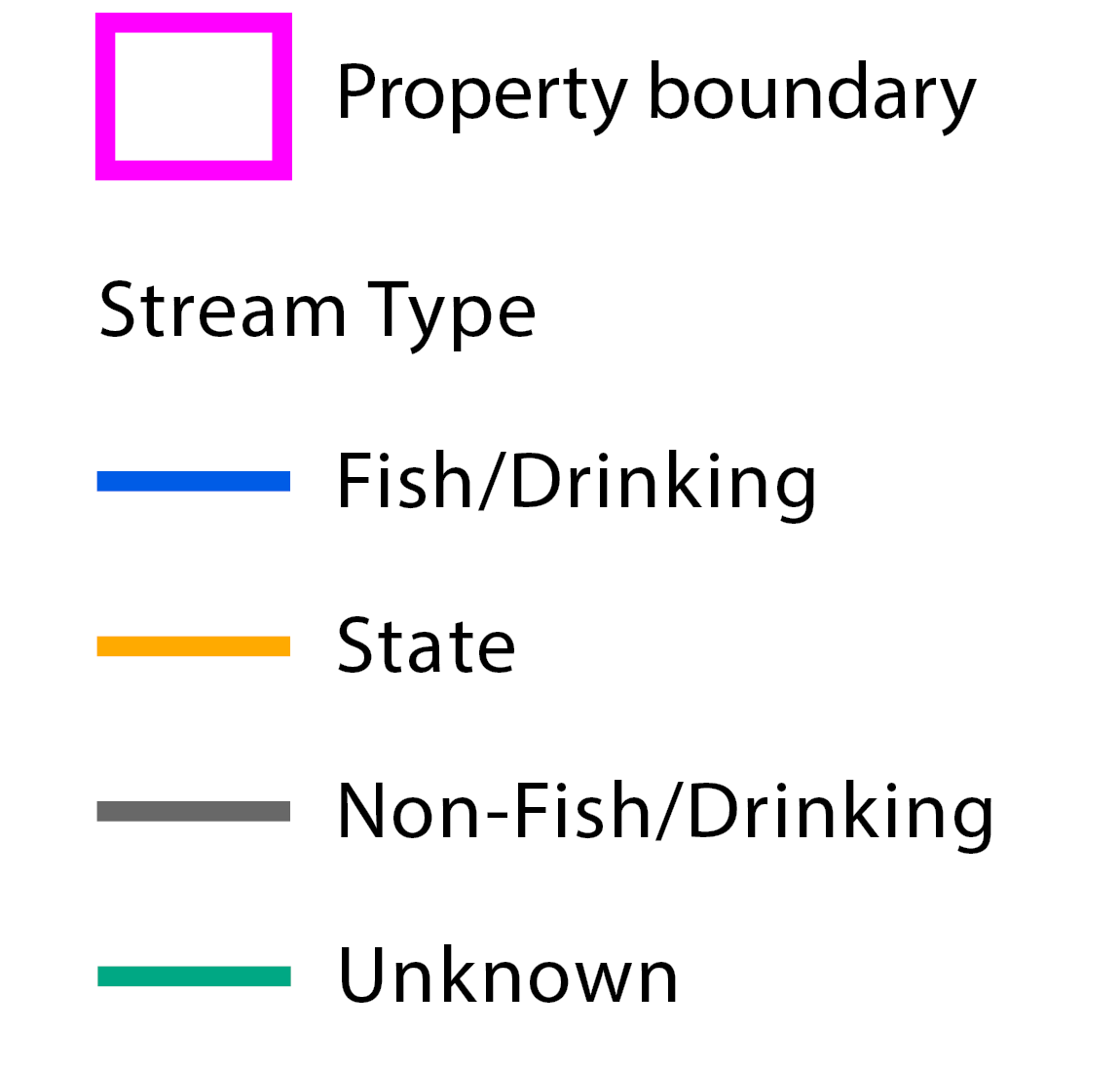
Hydrology
Seahurst Park
Data Sources
Streams: WA DNR Washington State Department of Natural Resources, Forest Practices Division
Basemap: ESRI Sources: Esri, HERE, Garmin, Intermap, increment P Corp., GEBCO, USGS, FAO, NPS, NRCAN, GeoBase, IGN, Kadaster NL, Ordnance Survey, Esri Japan, METI, Esri China (Hong Kong), (c) OpenStreetMap contributors, and the GIS User Community
Soil Types
Seahurst Park
Data Sources
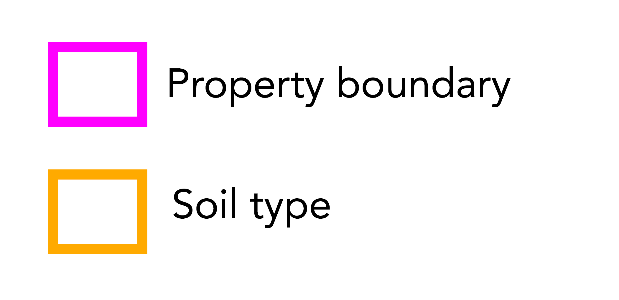
Soils: NRCS Soil Survey Staff. Gridded Soil Survey Geographic (gSSURGO) Database for Washington. United States Department of Agriculture, Natural Resources Conservation Service. Available online at http://datagateway.nrcs.usda.gov/. 20220912 (202301 official release).
Basemap: ESRI Source: Esri, DigitalGlobe, GeoEye, Earthstar Geographics, CNES/Airbus DS, USDA, USGS, AeroGRID, IGN, and the GIS User Community
Soil Types Table
Seahurst Park
Page 2 of 2
- Area: 3.9 acres (4.4%)
- Drainage: No Data Available
- Site Index: None
- Erosion Hazard: Not rated
- Restrictive Layer Depth: No Data Available
- Area: 0.1 acres (0.1%)
- Drainage: No Data Available
- Site Index: None
- Erosion Hazard: Not rated
- Restrictive Layer Depth: 12.5 - 25.0 cm
- Area: 73.4 acres (81.4%)
- Drainage: Moderately well drained
- Site Index: None
- Erosion Hazard: Severe
- Restrictive Layer Depth: 25.0 - 50.0 cm
Forest Community Type
Seahurst Park

Data Sources
Forest Types: Ecotrust Ecotrust 2023
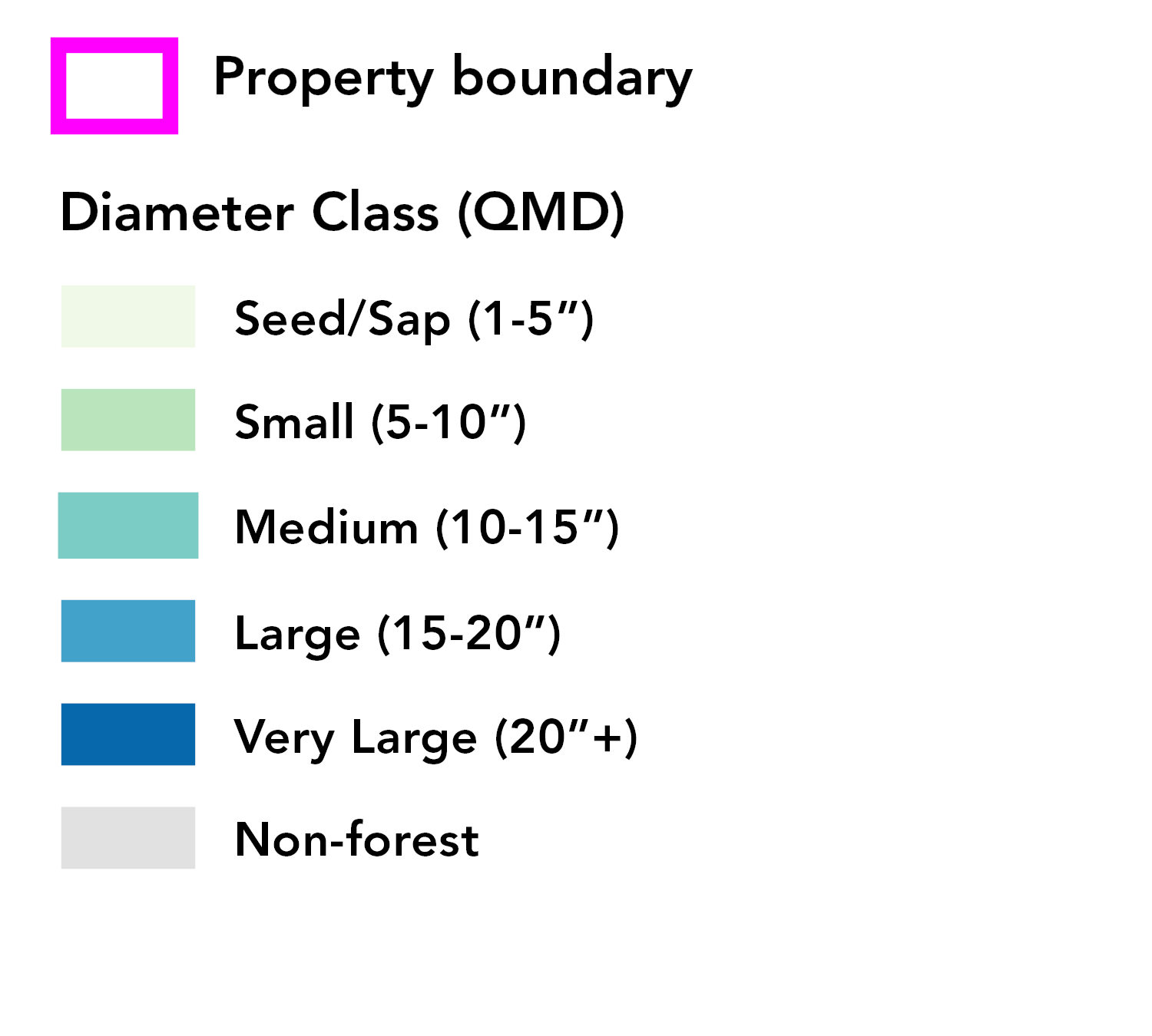
Tree Diameter Class
Seahurst Park
Data Sources
Forest Size: Ecotrust Ecotrust 2023
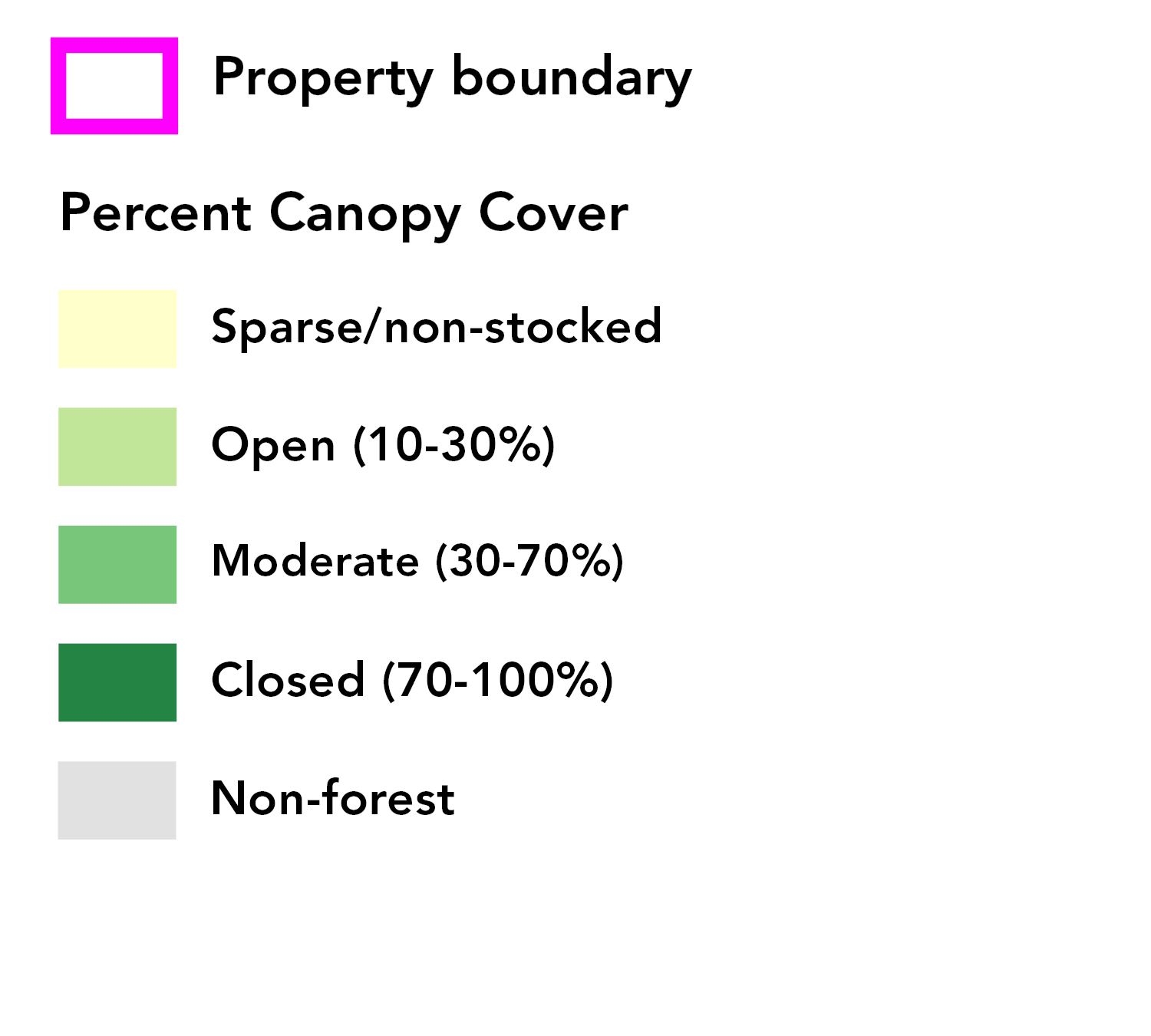
Forest Canopy Cover
Seahurst Park
Data Sources
Forest Types: Ecotrust Ecotrust 2023
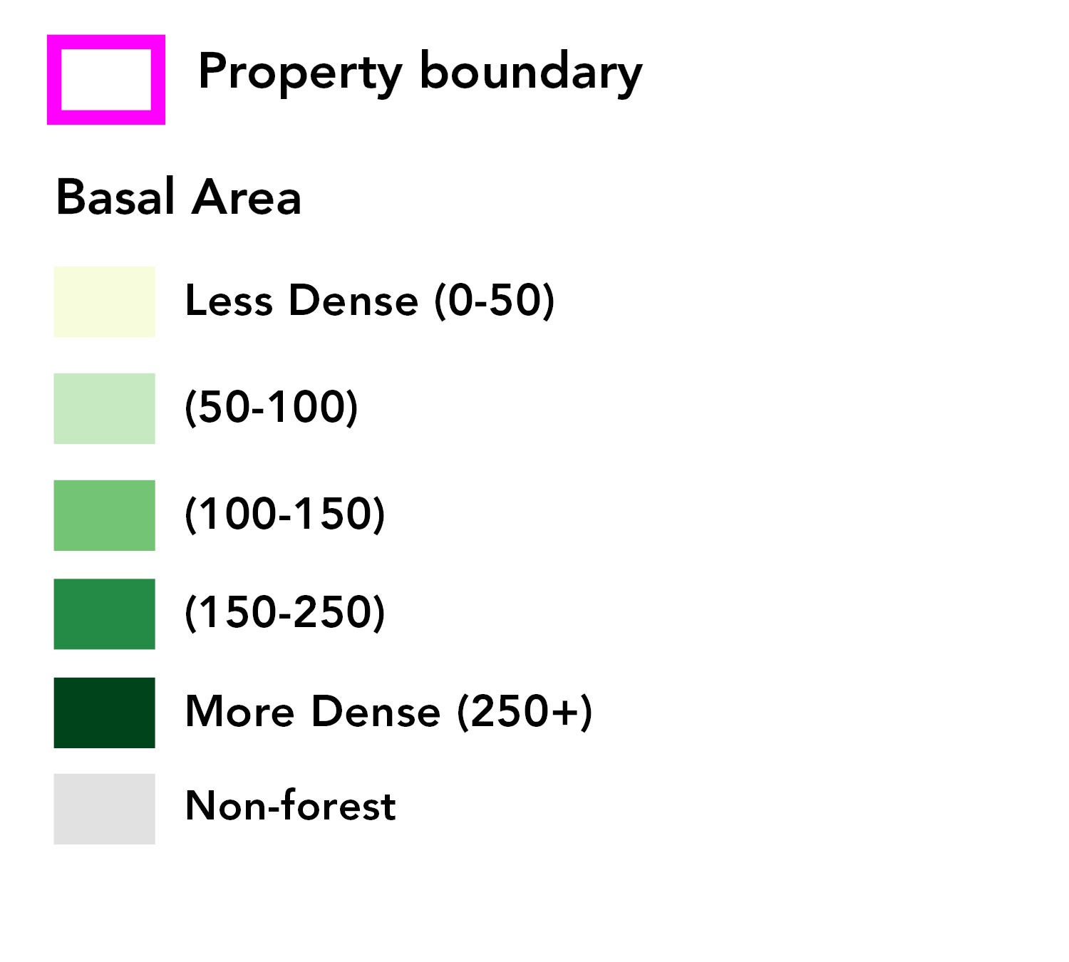
Forest Density
Seahurst Park
Data Sources
Forest Types: Ecotrust Ecotrust 2023